
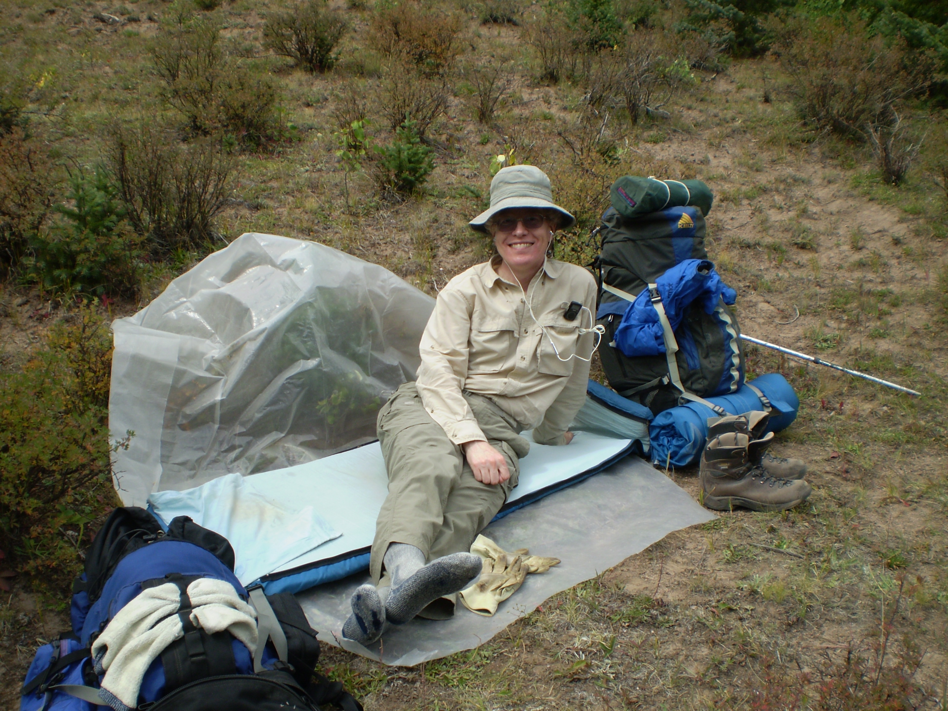
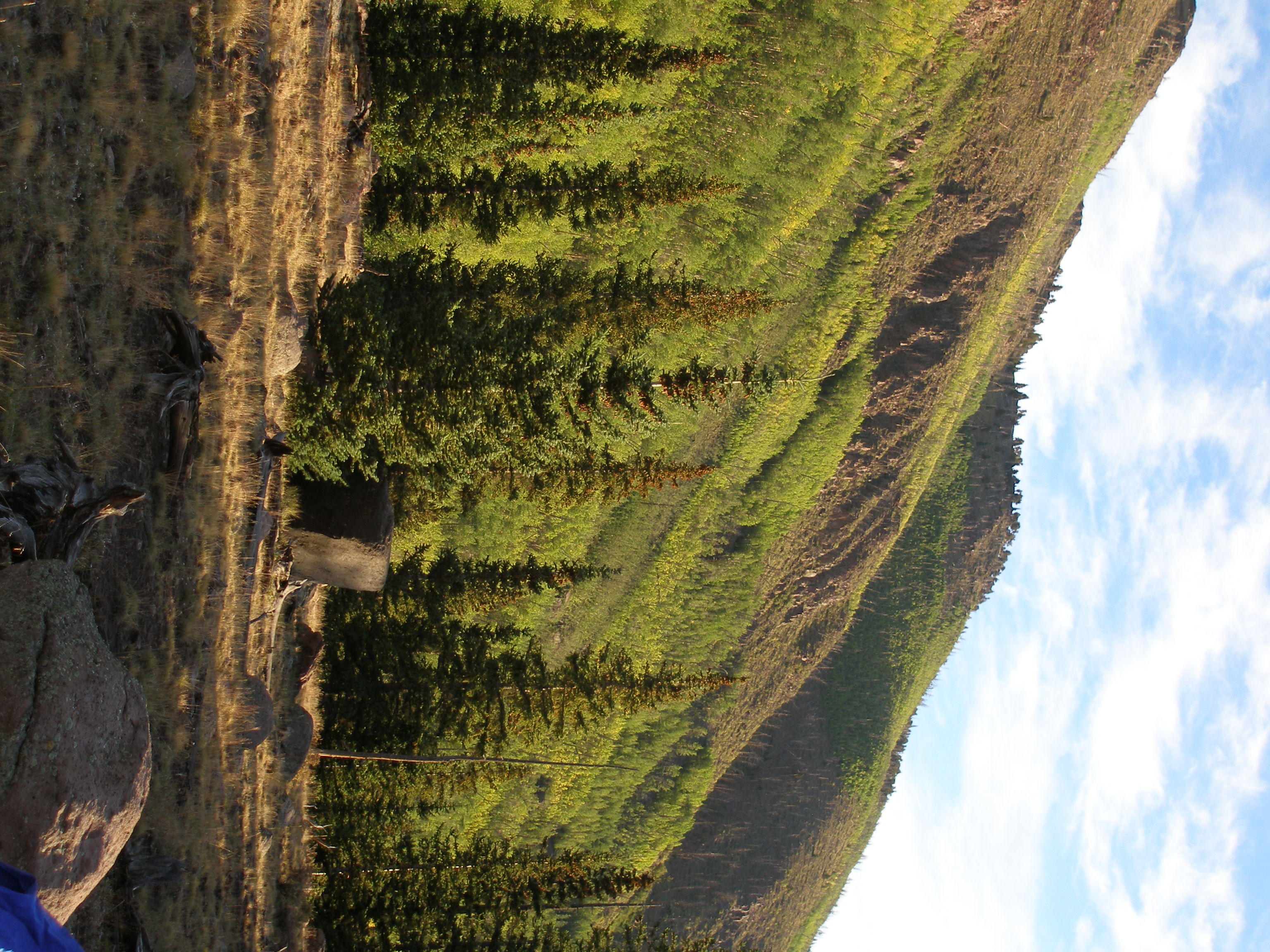
Frank at lunch stop, first day
3072x2304 image
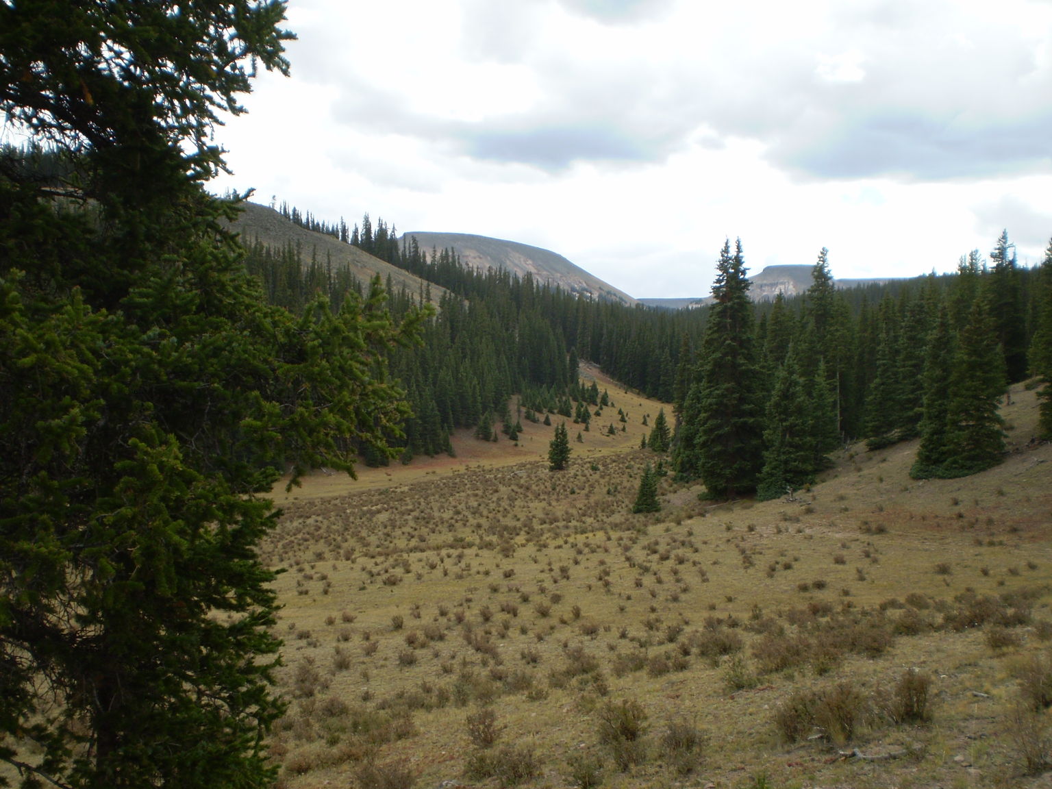
upper No Name Creek, cloudy weather
3072x2304 image
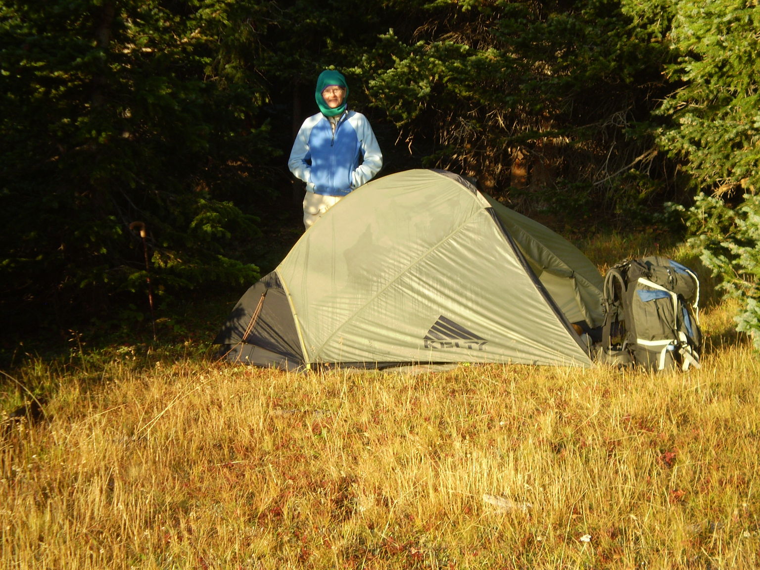
Susanna at our chilly morning campsite
3072x2304 image
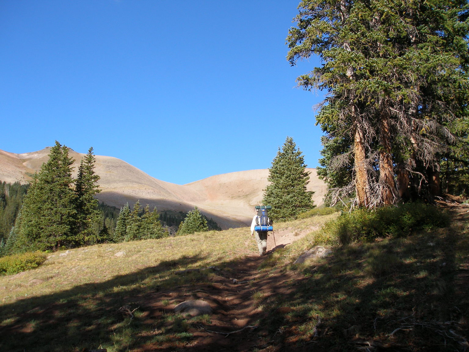
Frank beginning the ascent
3072x2304 image

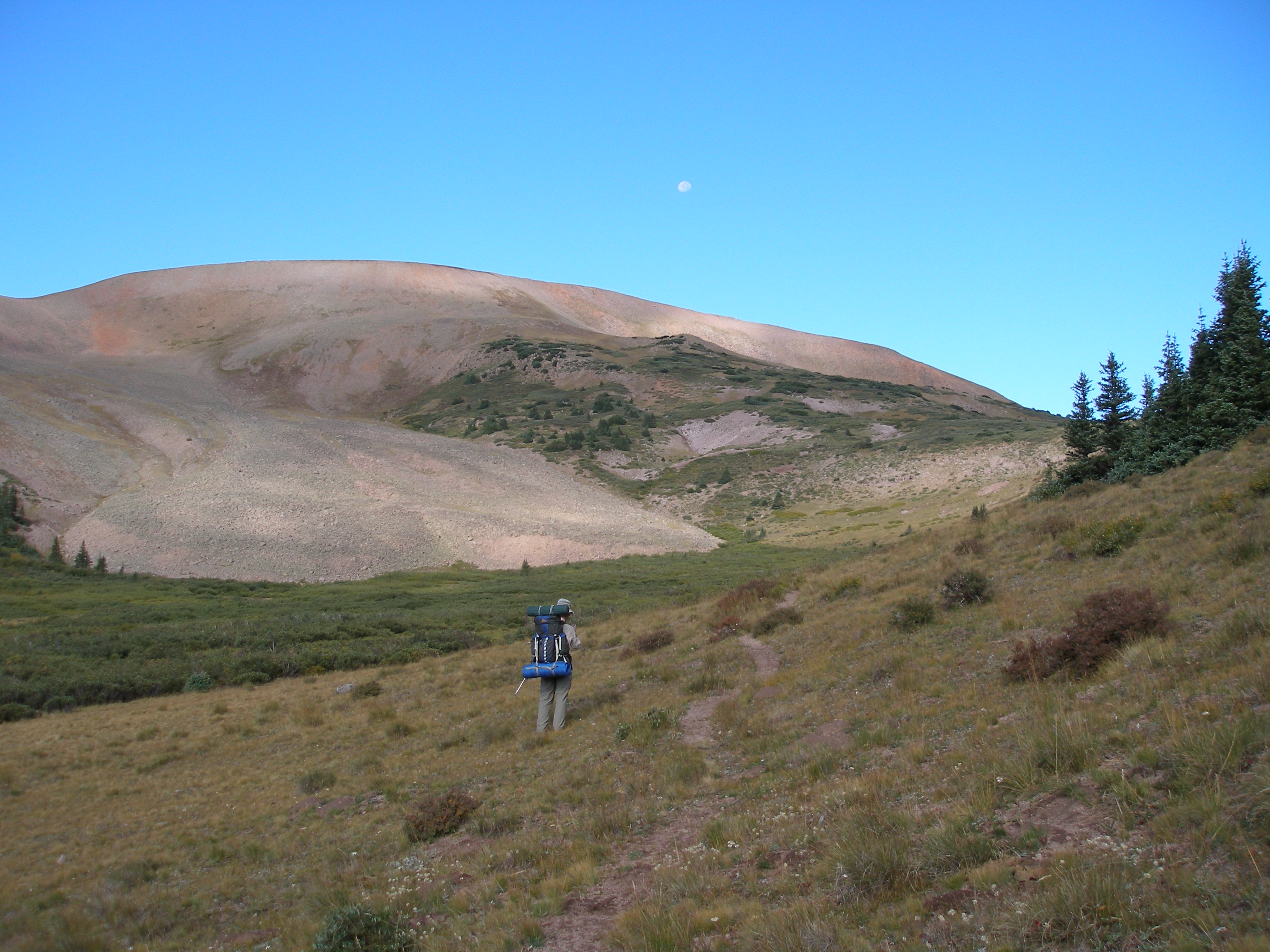
The moon, Frank and the saddle which is our destination
3072x2304 image
At the top, faster than usual because of REO Speedwagon
3072x2304 image
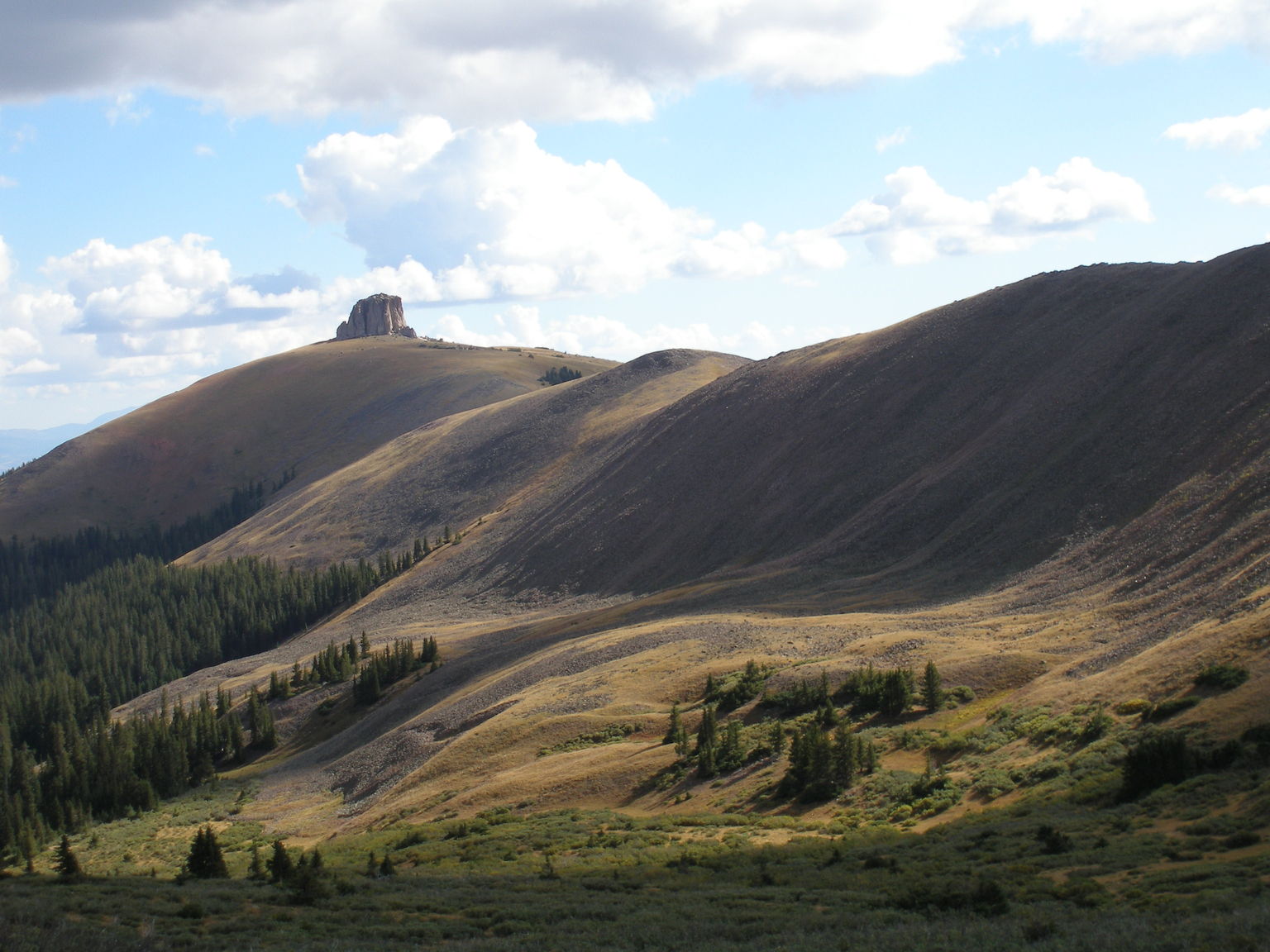
One of the Twin Peaks with cloud shadows
3072x2304 image
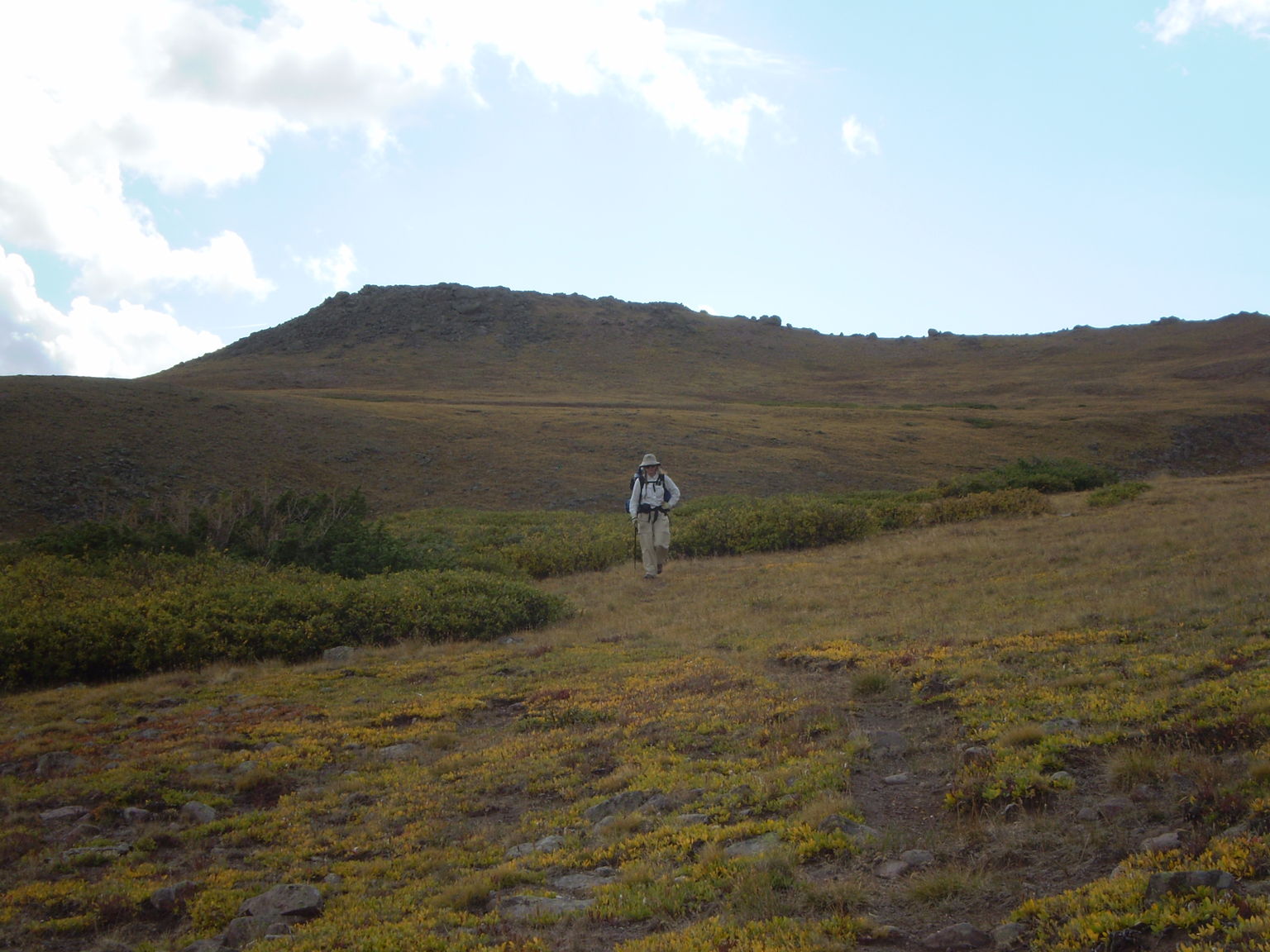
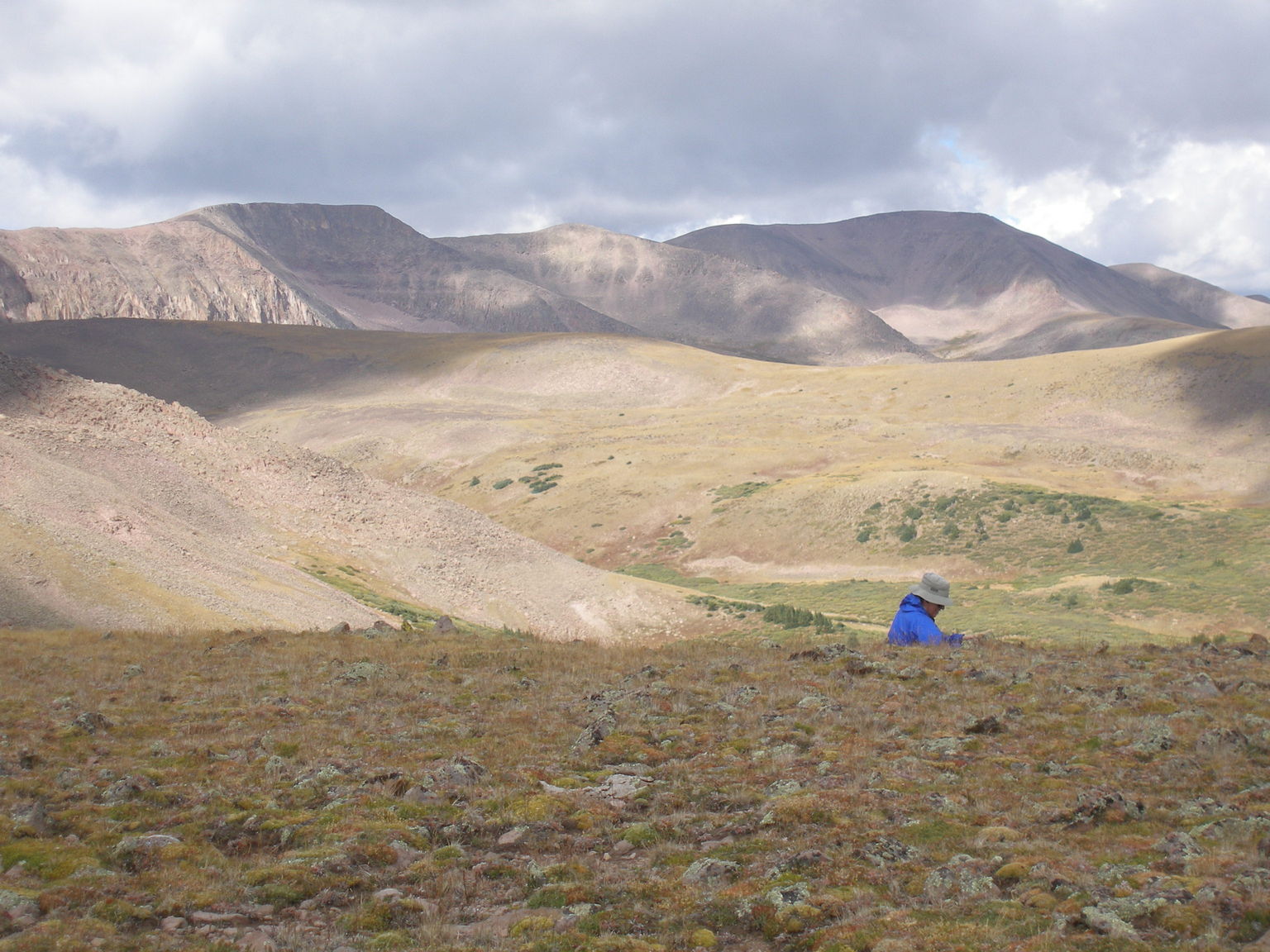
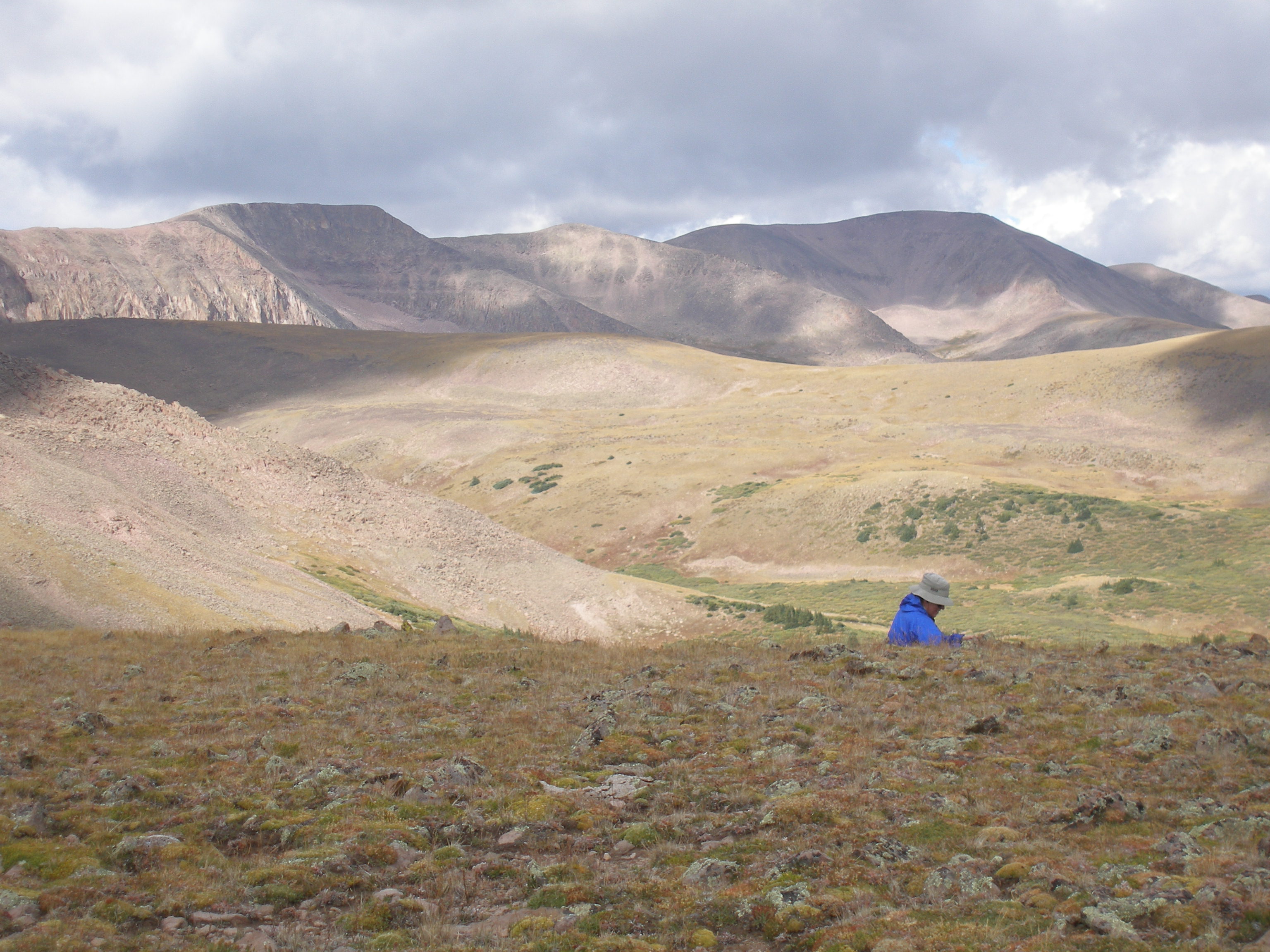
Susanna hiking across tundra
3072x2304 image
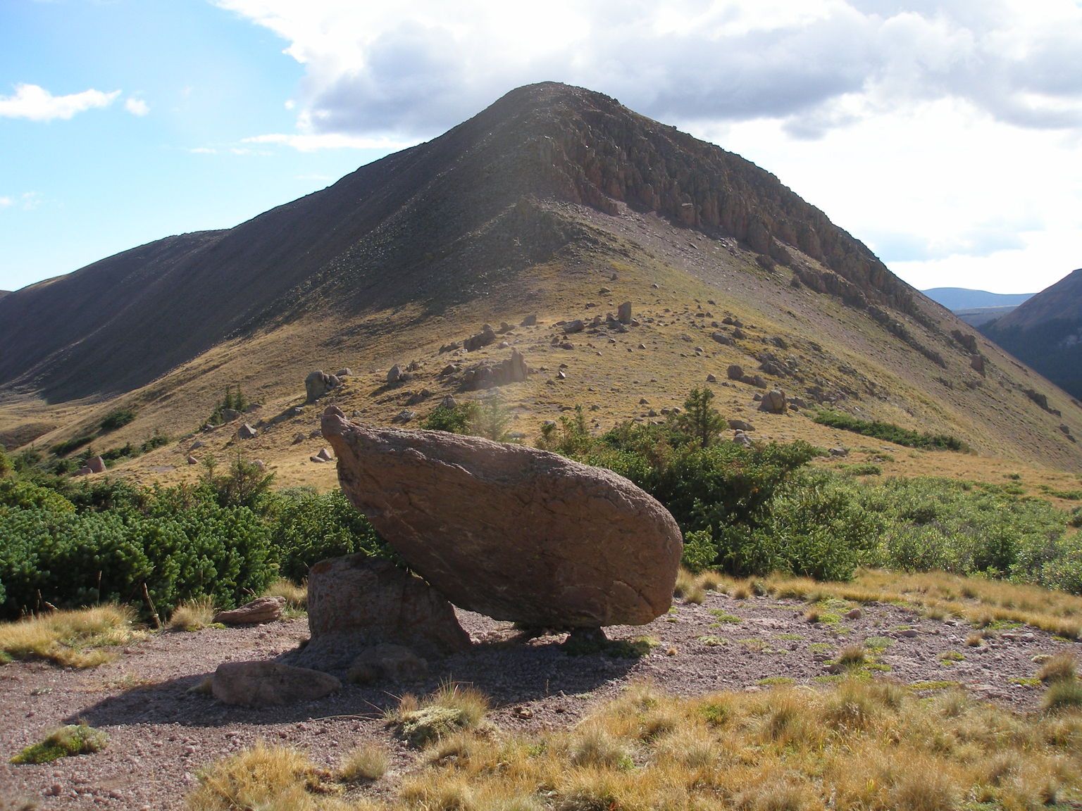
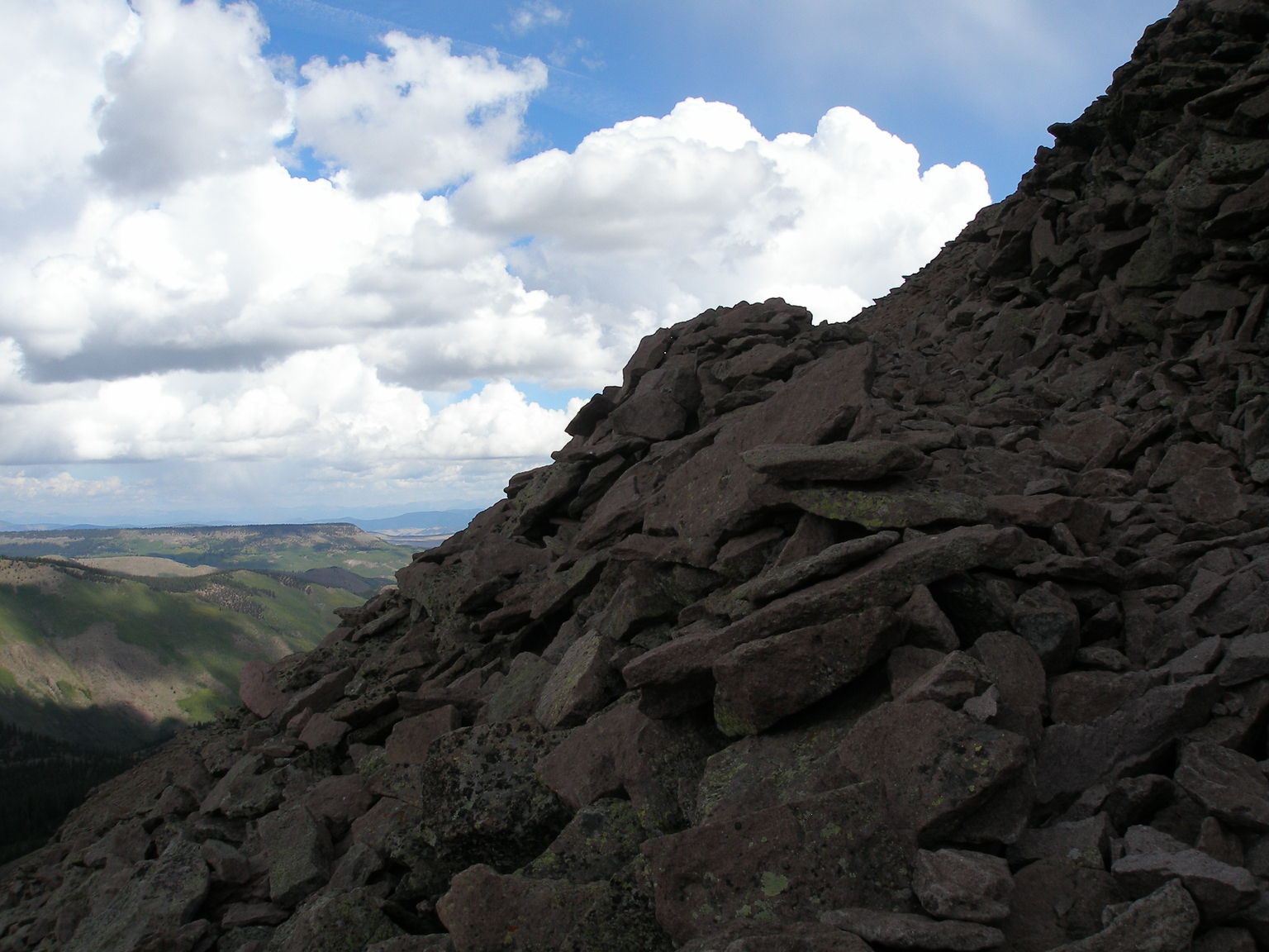
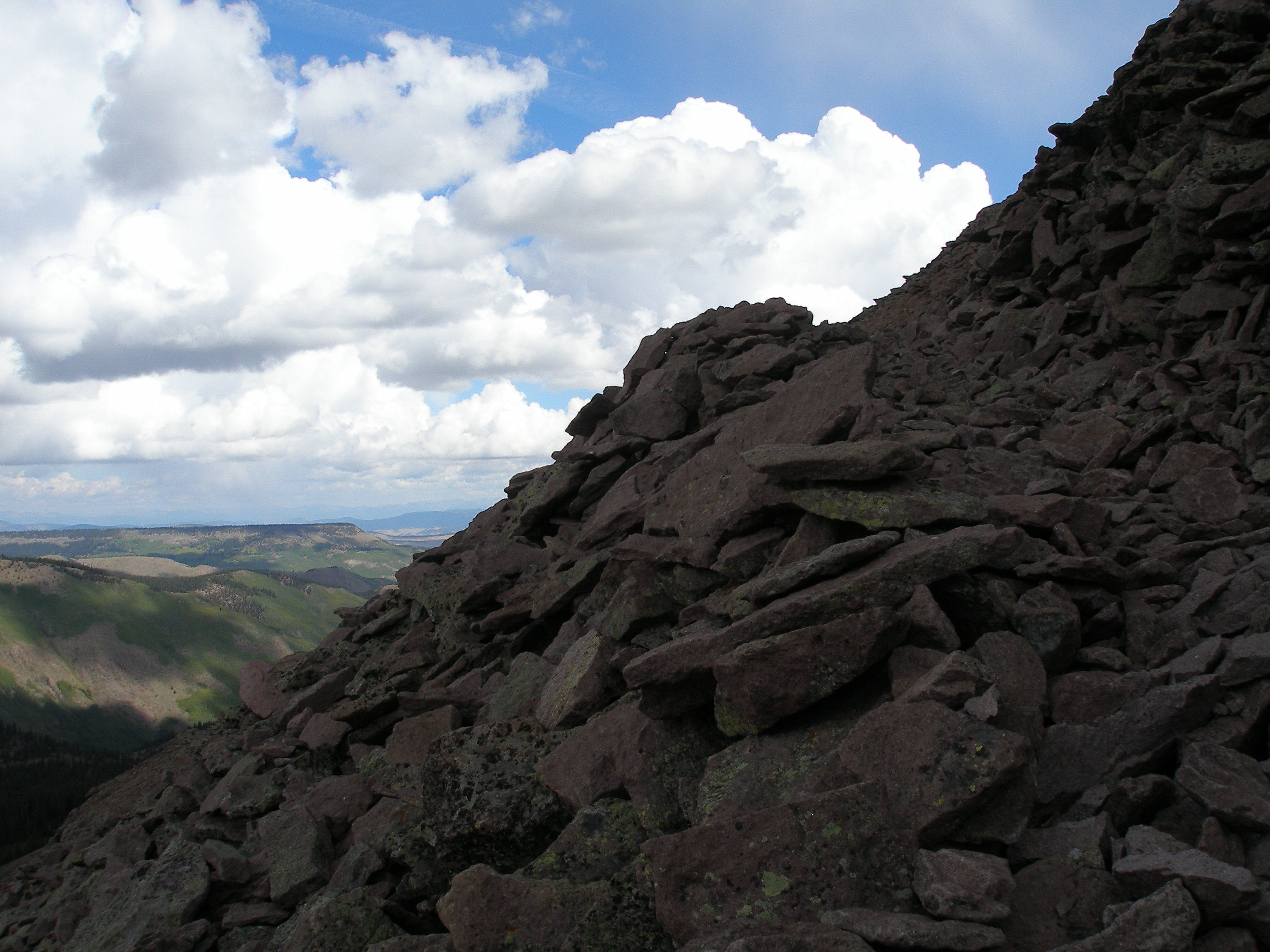
Frank stopped for a rest above the cliff
3072x2304 image
The mp3 player came up with I'm So Afraid, but the trail was good!
3072x2304 image
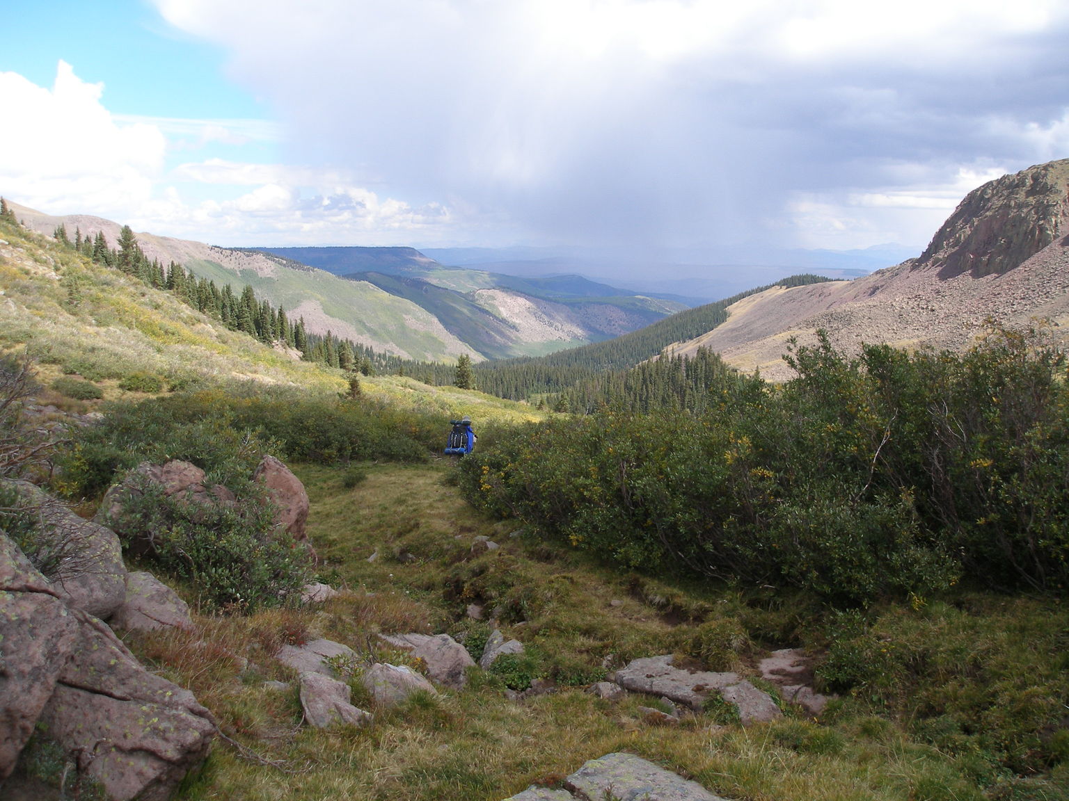
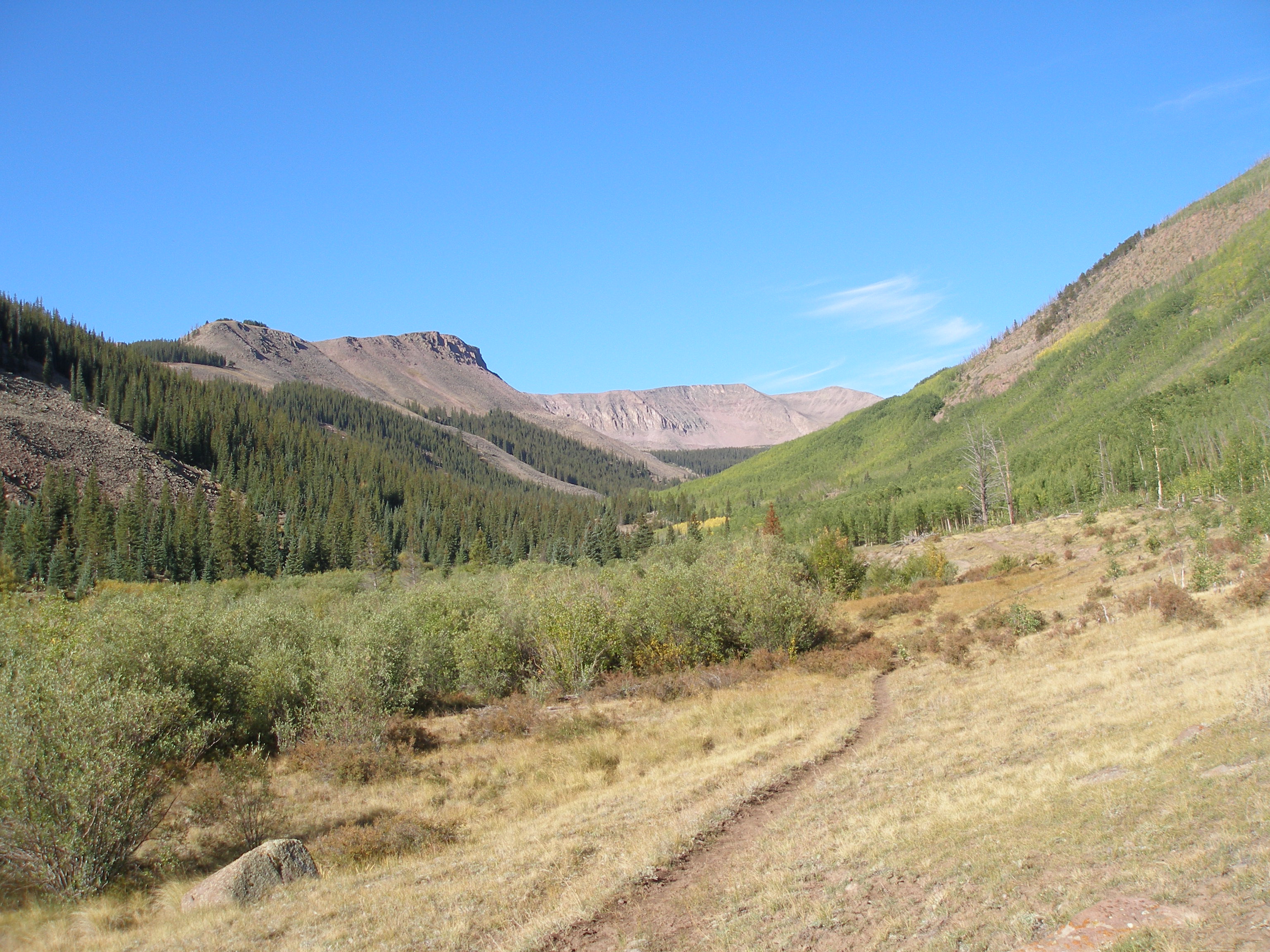
Down Bonito Creek, we've lost the trail and a storm is moving in
3072x2304 image

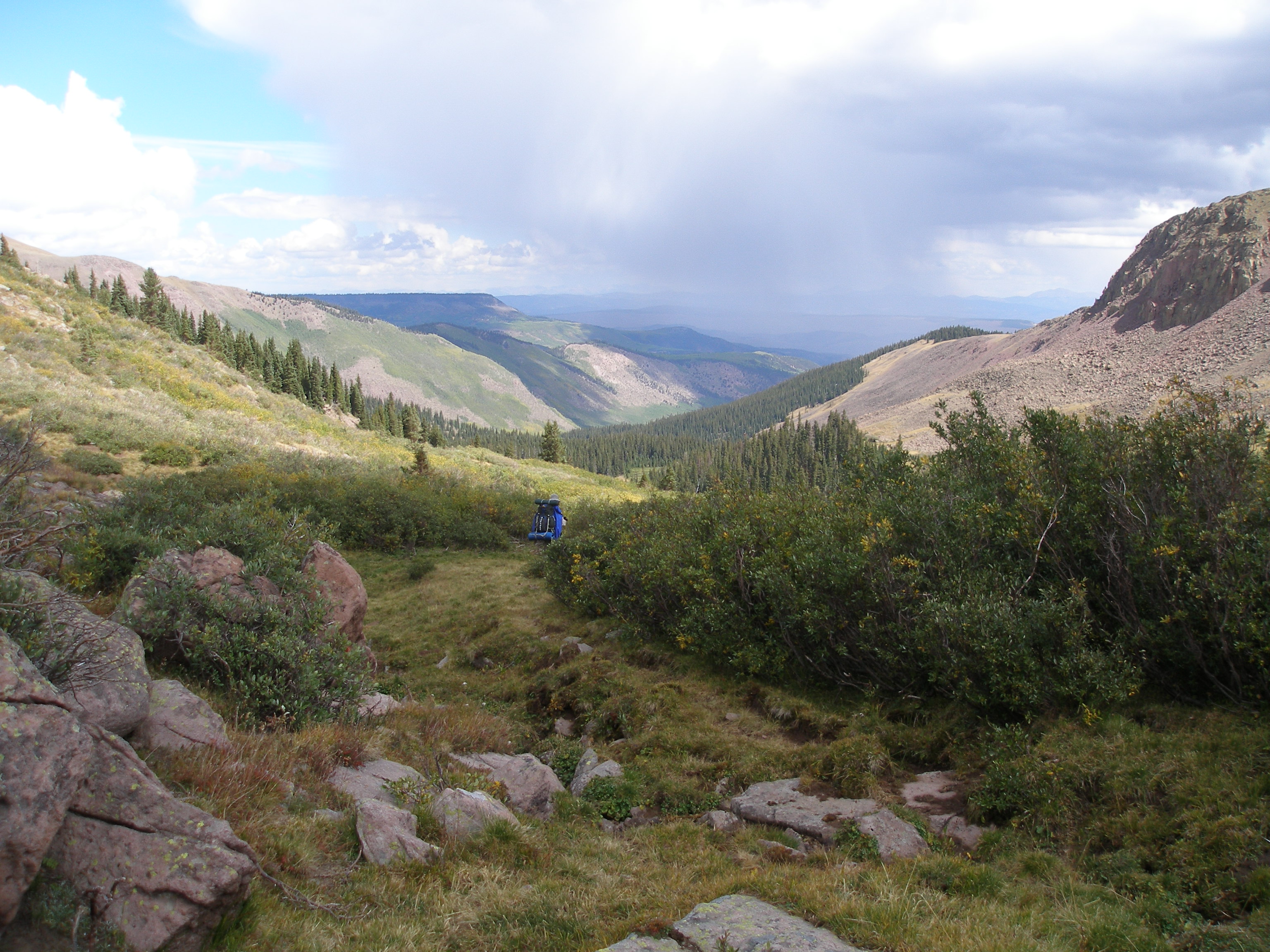
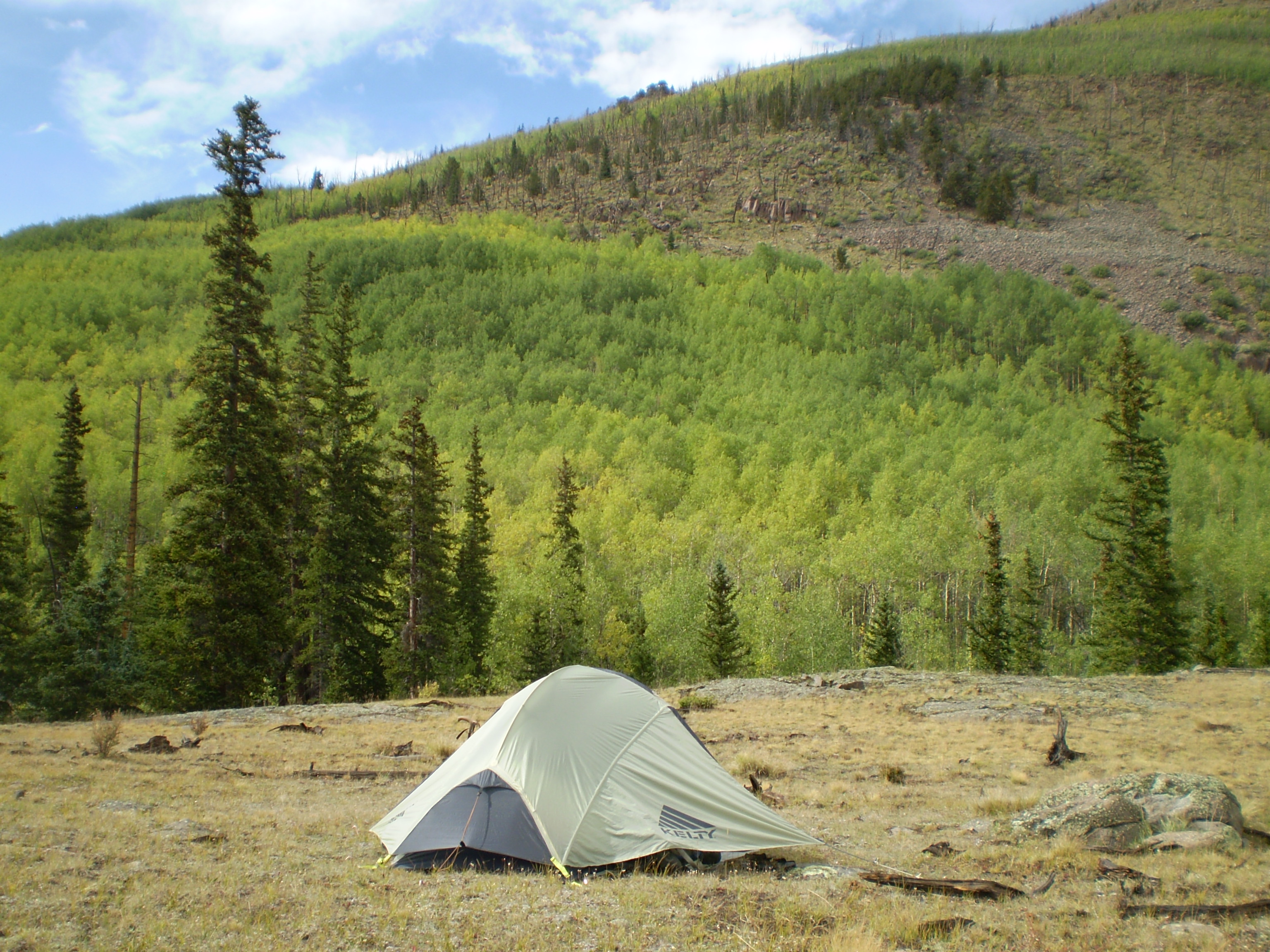
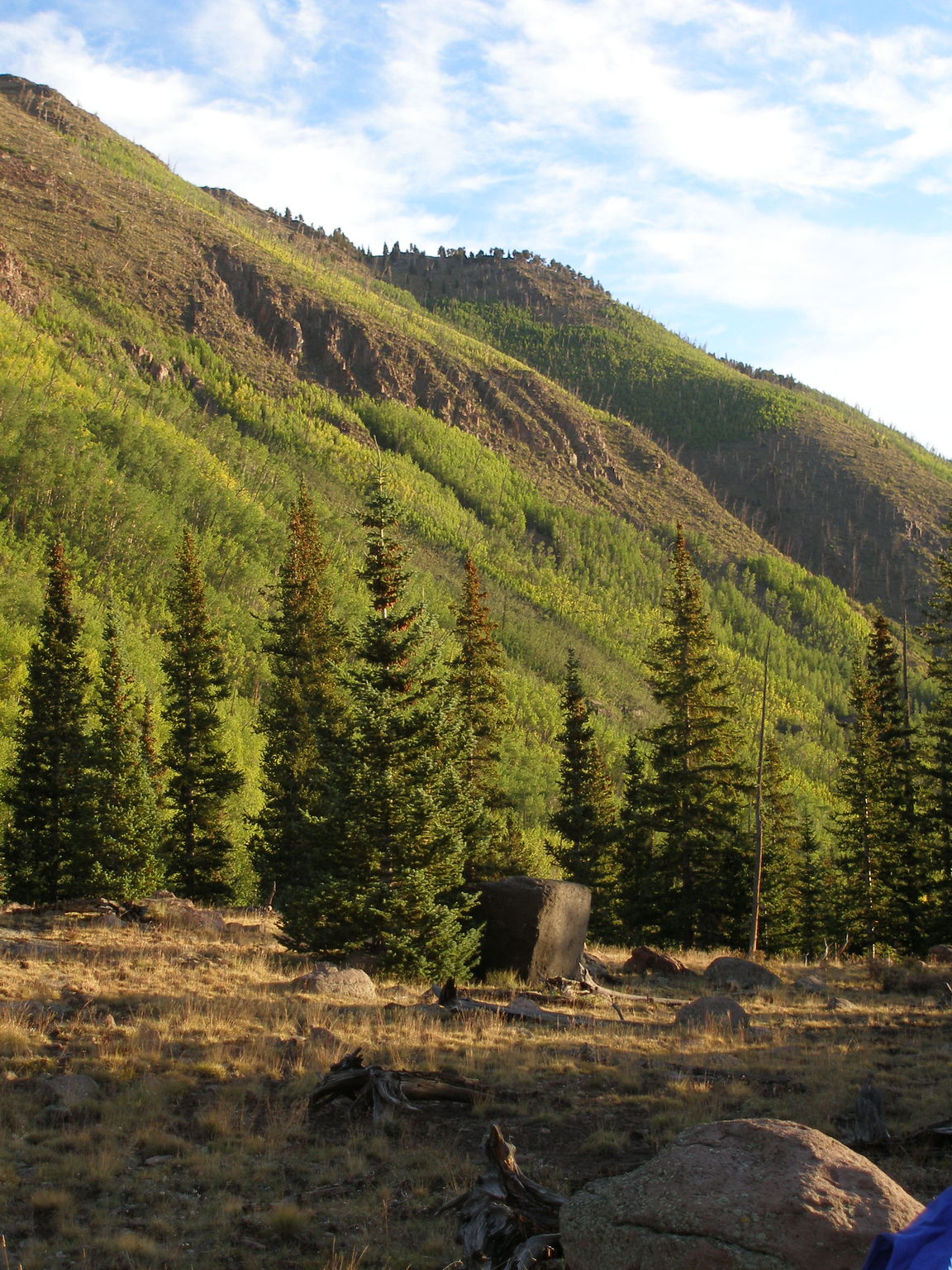
2nd camp, on a high terrace above the Middle Fork of Saguache Creek
3072x2304 image
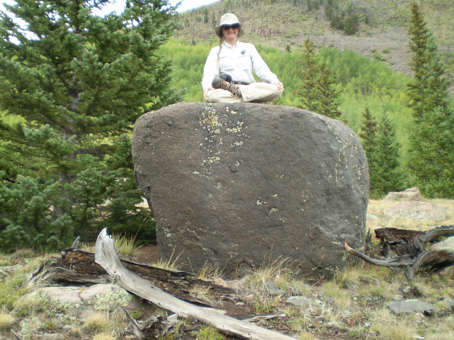
In the lotus position, on top of a strange black boulder
3072x2304 image
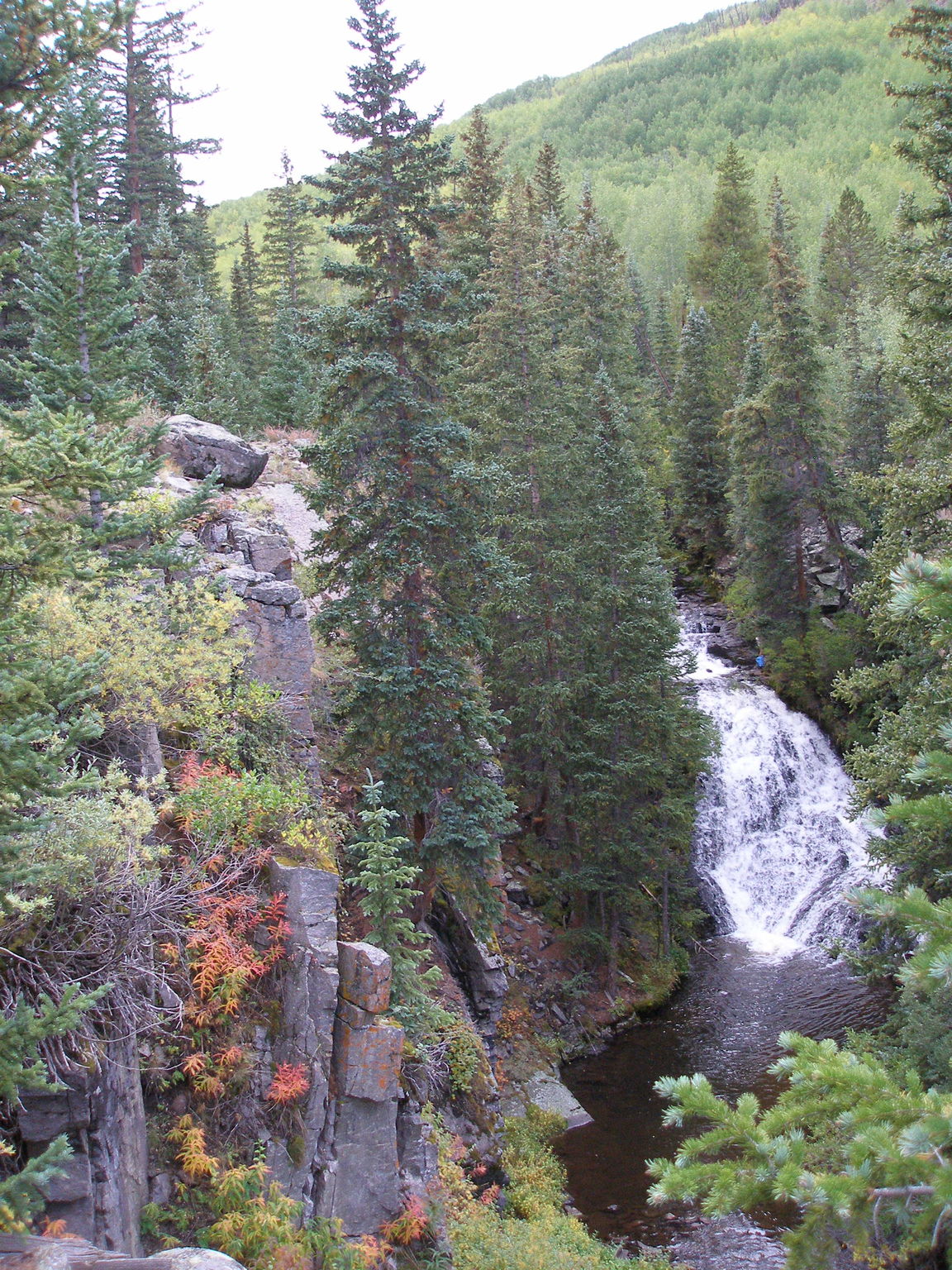
Saguache Falls
3072x2304 image

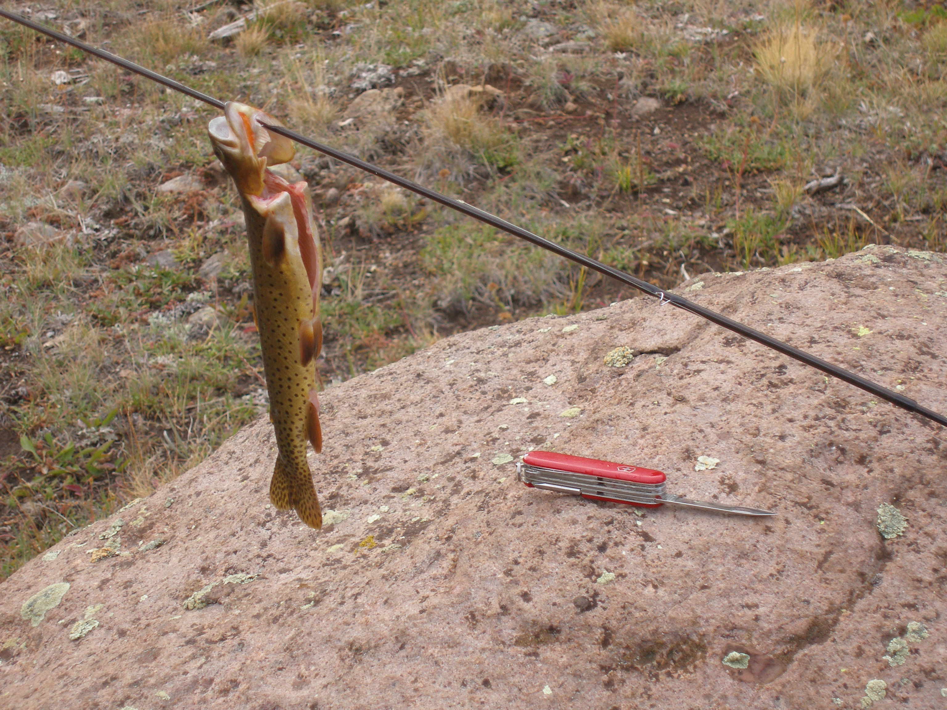
Nice large cutthroat trout, a tasty addition to dinner
3072x2304 image
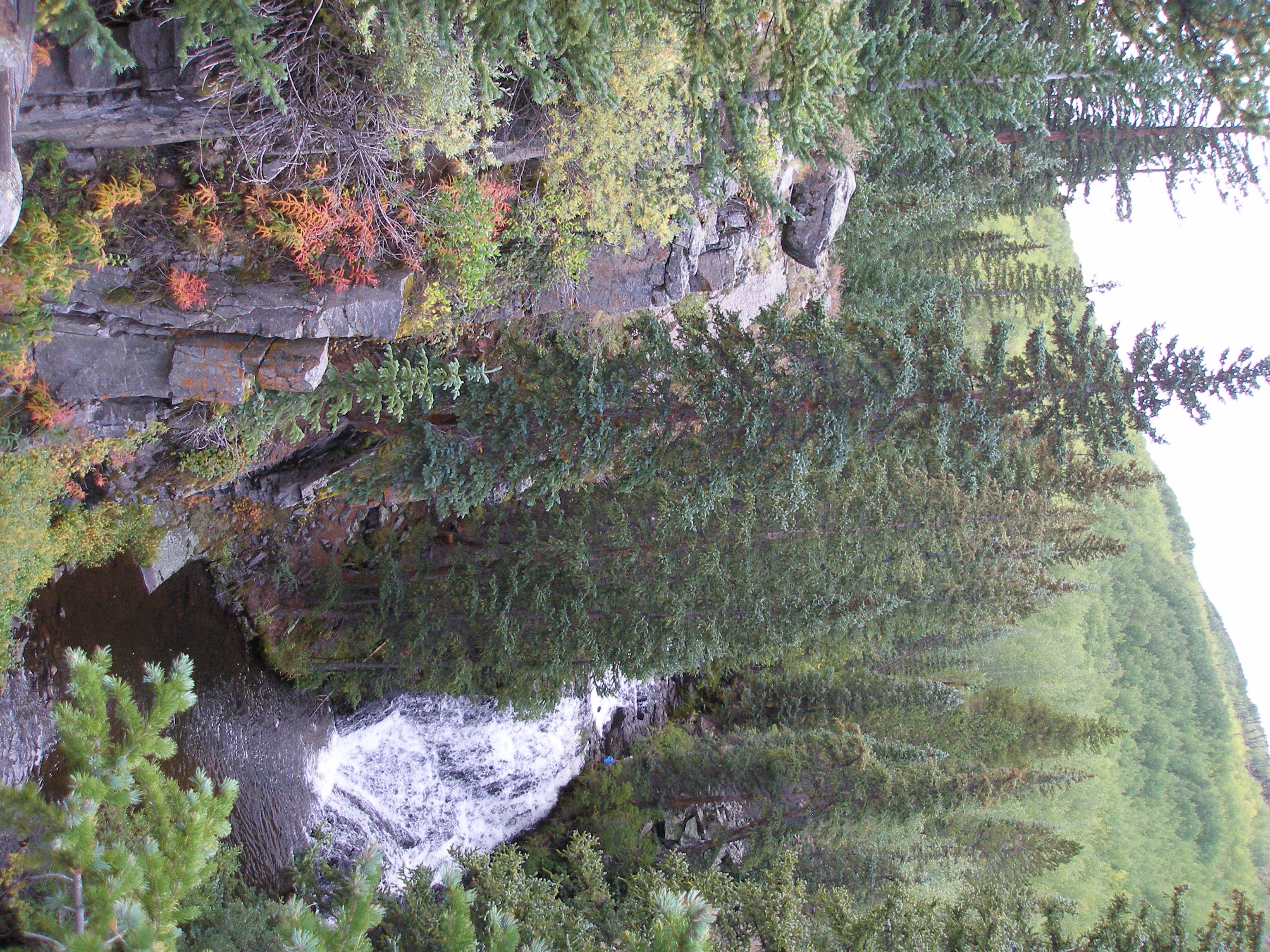
View of black boulder from camp in morning light
3072x2304 image

Looking back up the Middle Fork
3072x2304 image

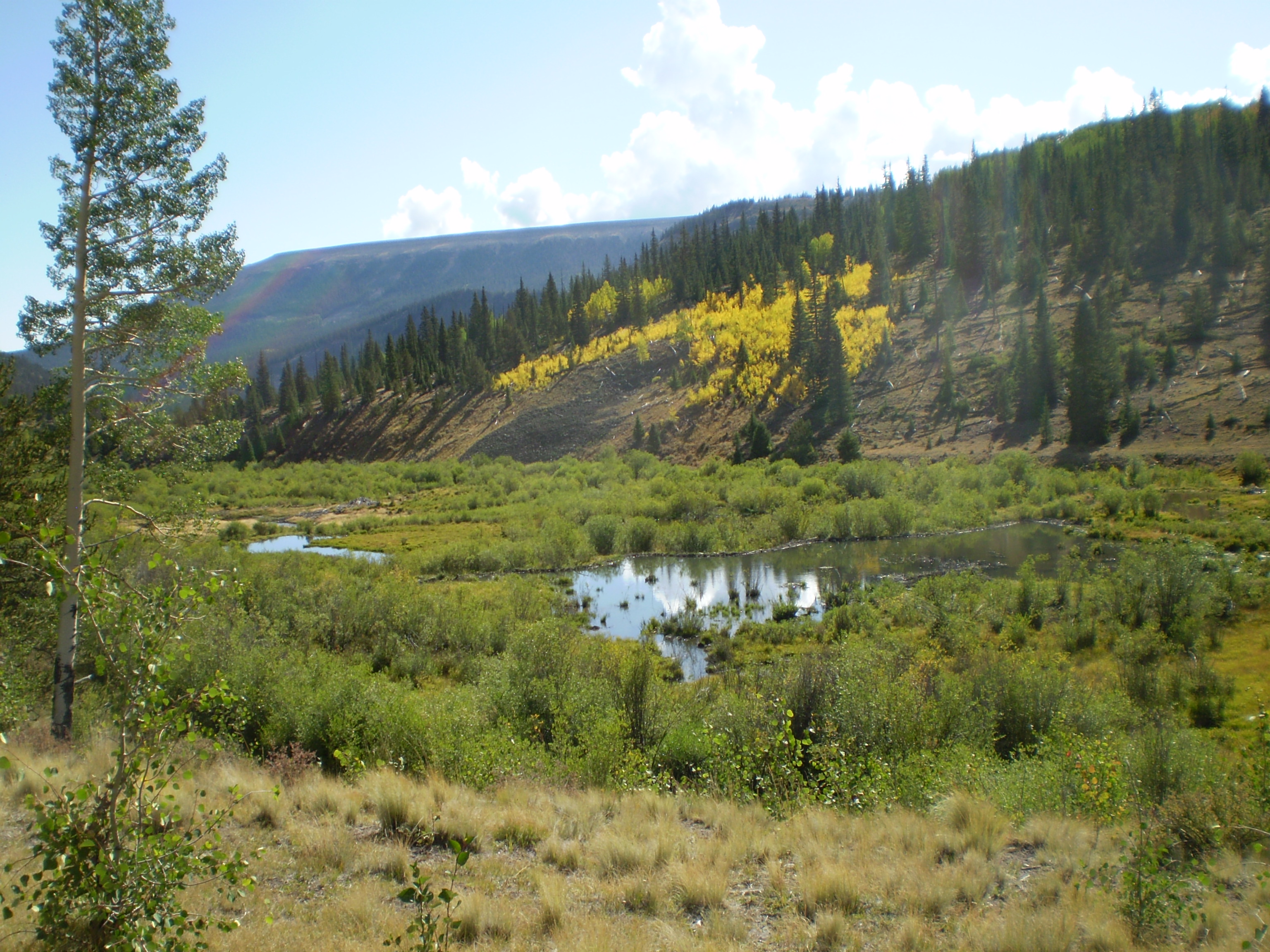
One of the many beaver ponds, with a patch of golden aspen
3072x2304 image

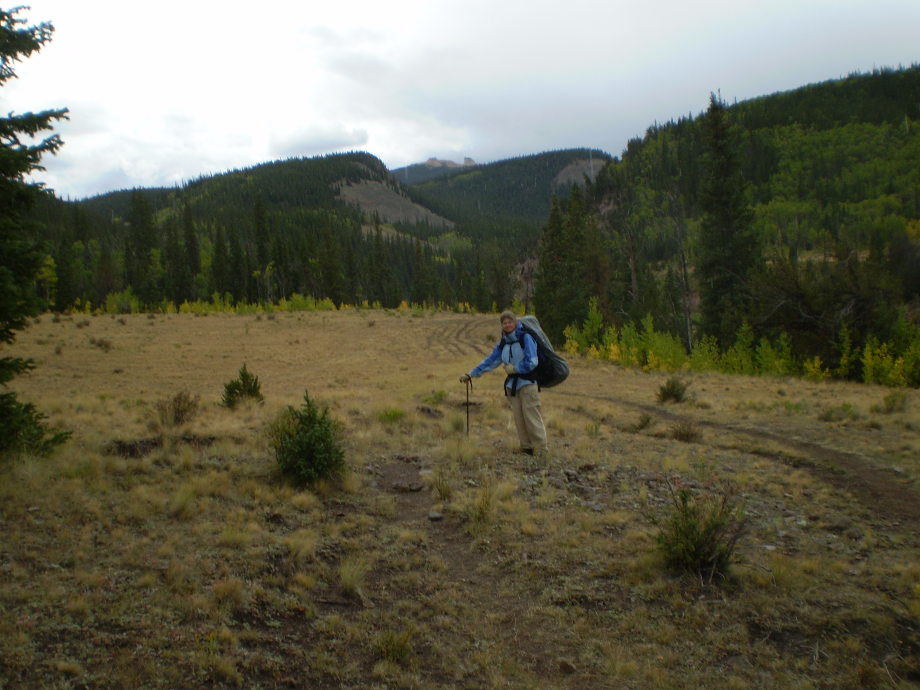
Susanna wearing rain gear, near trail's end
3072x2304 image