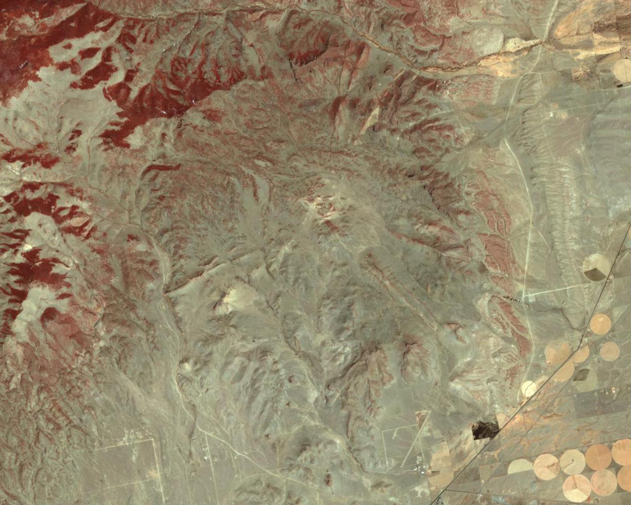
The bottom of the image is just north of Del Norte, while La Garita
Creek runs west to east along the top of the image. Twin Mountain is on
the left side (center) of the image, and the Rio Grande canal runs
diagonally across the lower-right portion of the image. The central
intrusive complex of the volcano core appears as the light colored area
in the center of the image. The large silicic dikes radiating from the
volcano center can be seen clearly in the image. The Natural Arch is in
the dike north-northeast of the central intrusive complex.
An image of Summer Coon volcano area taken with the ASTER instrument on
the NASA Terra satellite. The image was acquired at 11:03 MST on April
4, 2002 and has 15 meter resolution for this nadir view. The color
assignment is: 0.52-0.60 um (green) is in the blue channel, 0.63-0.69 um
(red) is in the green channel, and 0.76-0.86 um (near infrared) is in
the red channel. Since vegetation is highly reflective in the near
infrared, vegetation appears reddish. Since the image was taken before
the growing season (and in a drought year), the irrigation circles do
not appear red.